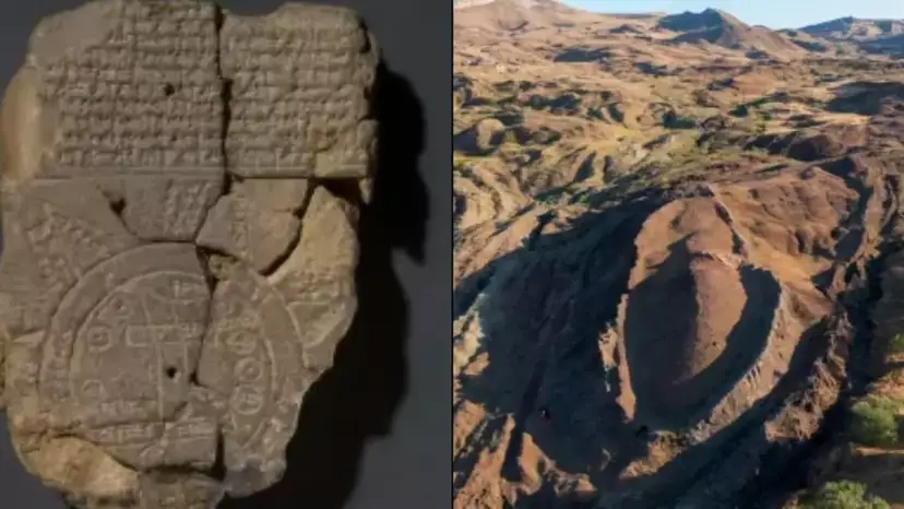
It’s said to be the oldest known map in the world
“The animals went in two by two, hurrah! Hurrah!” I bet that’s just unlocked a memory from long, long ago hasn’t it?
While the Noah’s Ark tale from the bible (and the nursery banger that goes with it) may seem like a story from the past – and possibly of fiction – to many, it’s been brought right up to the 21st Century.
Yep, that’s because scientists believe they have found the ‘location of Noah’s Ark’ after managing to decipher a 3,000-year-old map.
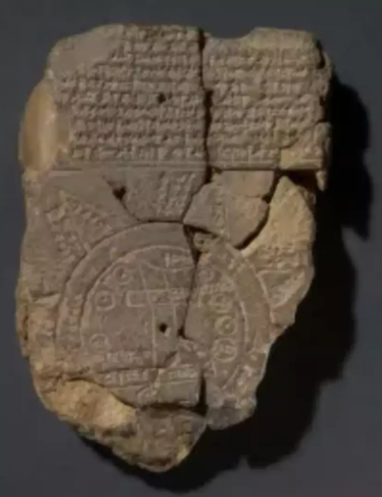
This all comes down to the Imago Mundi, the ancient Babylonian artifact of a clay tablet written on with symbols which lays out how Christians believe the world was created.
Kept at the British Museum, researchers there have managed to decipher the map, with the back of the tablet acting like a key.

It’s the oldest known map in the world. (The British Museum)
It lays out what a traveller will come across on their journey, with one part explaining they have to pass through ‘seven leagues… [to] see something that is thick as a parsiktu-vessel’.
READ MORE:
YOUTUBERS DIVED IN DIY SCUBA SUIT UNDER CHERNOBYL UNIT
MYSTERY OF 800-YEAR-OLD SKELETON FINALLY SOLVED
That odd sounding word has been found on other Babylonian tablets but where it’s particularly worth noting in this case is when it was explaining the size of a boat needed to survive the Great Flood. Oh, you can put two and two together there lads.
Researchers followed those instructions, coming across a path to ‘Urartu’. Here, an ancient Mesopotamian poem says a man and his family landed an ark to be able to preserve life. A man named Noah perhaps?

Researchers deciphered the symbols. (The British Museum)
And yep, the location is the Assyrian equivalent to ‘Ararat’ – that’s the Hebrew word for the mountain good old Noah crashed his vessel into.
Curator at the British Museum, Dr. Irving Finkel explained: “It shows that the story was the same, and of course that one led to the other but also, that from the Babylonian point of view, this was a matter of fact thing.
“That if you did go on this journey you would see the remnants of this historic boat.”
Since being found in what is now Iraq back in 1882, the tablet has been damaged but it at one point featured eight triangles which researchers decided signified mountains.
“Number four says ‘to the fourth, to which you must travel seven leagues’,” Dr Finkel said and explained how the passage cotinues to outline how a journeyer will eventually stumble upon a giant vessel. Yes, an ark, surely.
“This parsiktu measurement, is something to an Assyriologist which makes their ears prick and the fact is it’s only once otherwise known from cuneiform tablets and it’s rather an interesting cuneiform tablet too,” the curator said.
“Because it is the description of the Ark which was built, theoretically, by the Babylonian version of Noah.”Featured Image Credit: The British Museum / NoahsArkScans.com


